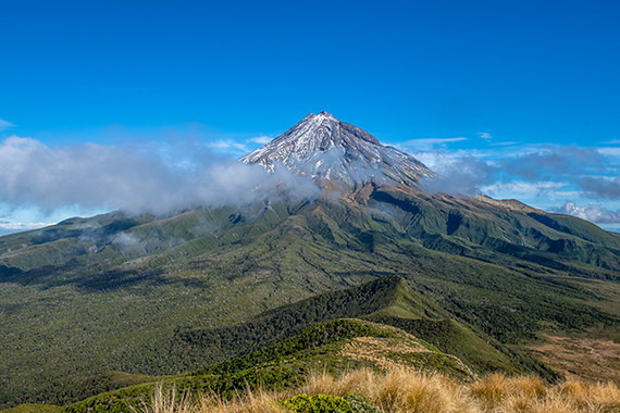
DOC are continuing to assess areas affected by Cyclone Gabrielle. As assessments are completed, or as areas are opened, DOC will update their website, so please make sure you visit the DOC website before venturing into the hills.
Please note that just because an area is opened does not mean that all the tracks have been fully checked, so please take these additional precautions in North, Central and Eastern North Island areas: - Allow for extra travel time to negotiate windfall or track damage.
- Carry an emergency shelter and enough clothes for an unplanned night out.
- Take an emergency locator beacon with you.
- Have appropriate means to navigate off-track if required.
- Be prepared to turn back if trail conditions aren’t viable.
- If you venture out and come across any track or hut damage, please report it at this link.
In particular, the following information will ensure it gets attended to as quickly as possible: - GPS coordinates (NZTM format preferred)
- Photos of the damage
- Measurements (for example, approximately how big are the trees across the track? How many are there? How long is the slip?)
- A detailed description
Providing this information is the best way the community can help recovery efforts on public conservation land. At the same time, if a track is showing as closed on the DOC website, but is found to be no longer closed, please communicate this to the local DOC office so their website can be updated. For a detailed update on affected areas, read more on our website.
|